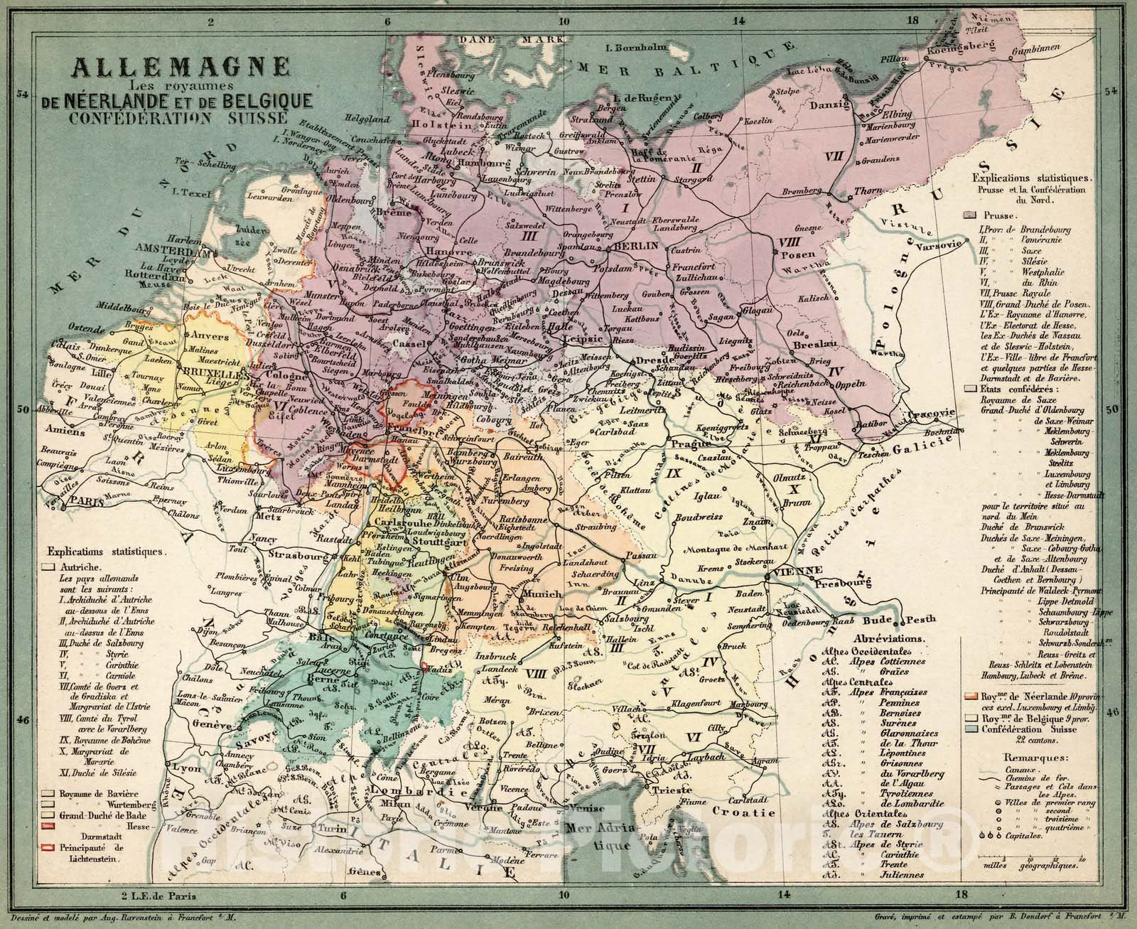
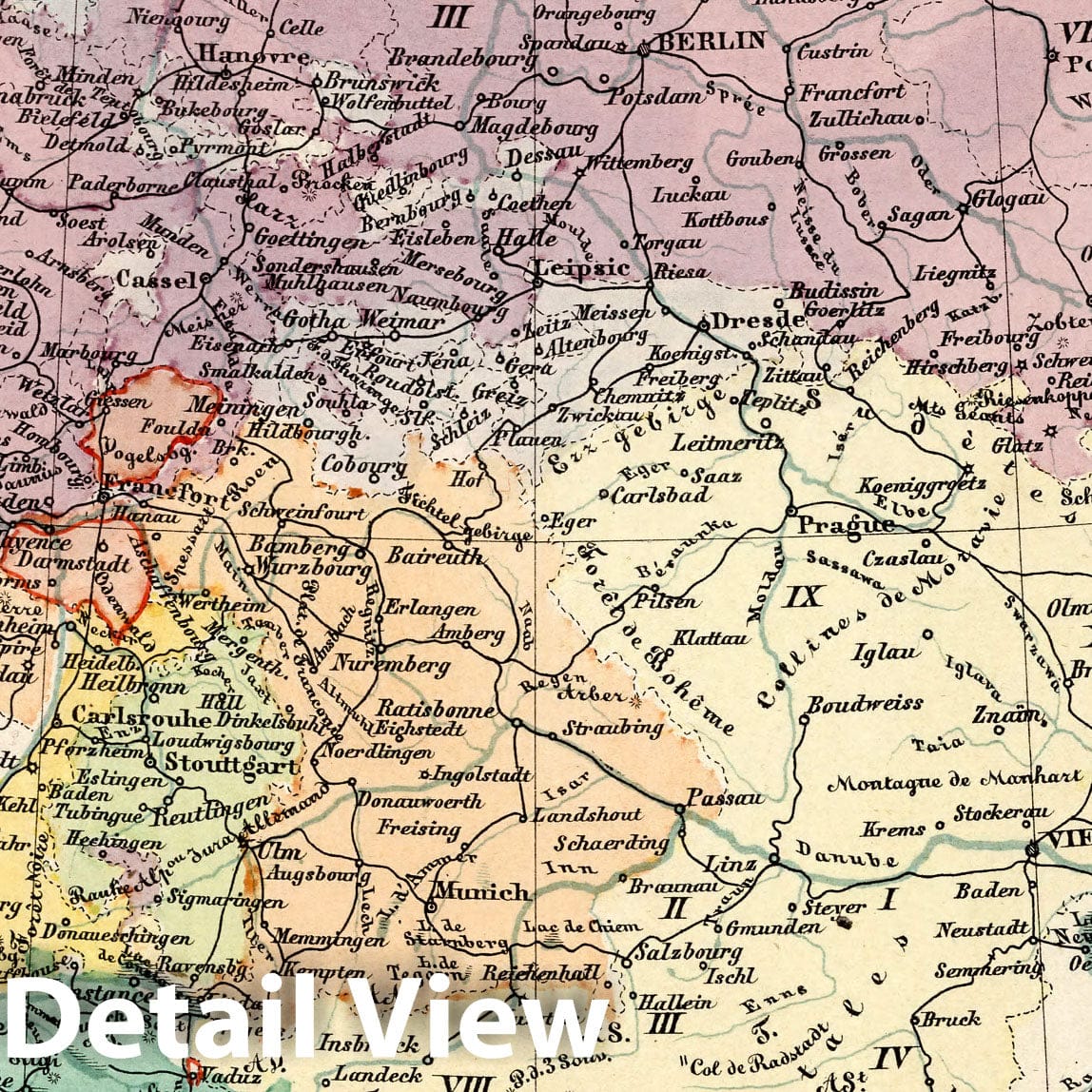
Allemagne Les royaumes de Neerlande et de Belgique Confederation Suisse. Dessine et modele par Aug. Ravenstein a Francfort s/M. Grave. imprime et estampe par B. Dondorf a Francfort s/M. | (Raised Relief and Flat Maps of the World). Dessine et modele par Aug. Ravenstein a Francfort s/M. Grave. Imprime et estampe par B. Dondorf a Francfort. s/M. | Two sets of eight identical maps of the world, An early edition of the French language version of the first commercial set of relief maps intended for teaching purposes. A landmark in geographical education. Set includes the six continents and Germany, each 23x28 at neatline. One set in 3 D raised relief, printed and stamped on card stock, each map mounted on a paper-covered frame of thin wooden dowels. The other set, 2D, printed on paper, loose in a light-blue glazed paper. Both sets in printed color though in different schemes, the paper maps with some added hand color, showing cities and towns, rivers and mountains, notes and statistics. Relief shown pictorially on some maps. The sets placed together in a contemporary drop-front box covered with blue paste-paper. The relief maps emphasize physical and geographical features, and sheet maps political divisions. See our 2490.000 for Sonnenschein and Allen's Relief Atlas of 1880.
We print high quality reproductions of historical maps, photographs, prints, etc. Because of their historical nature, some of these images may show signs of wear and tear - small rips, stains, creases, etc. We believe that in many cases this contributes to the historical character of the item.


