Uphill
857m
Length
16km
Duration
6h30min
Elev gain
857m
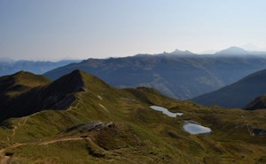
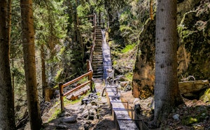
This first stage of the tour of the Val d'Hérens begins in Thyon, a village located near Sion. The path runs along the Hérémence valley and immediately climbs to the foot of Mont Rouge, near the Essertze gouilles. These peaceful ponds alternate with peat bogs over 13,000 years old, and are an ideal place for a short break.
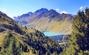
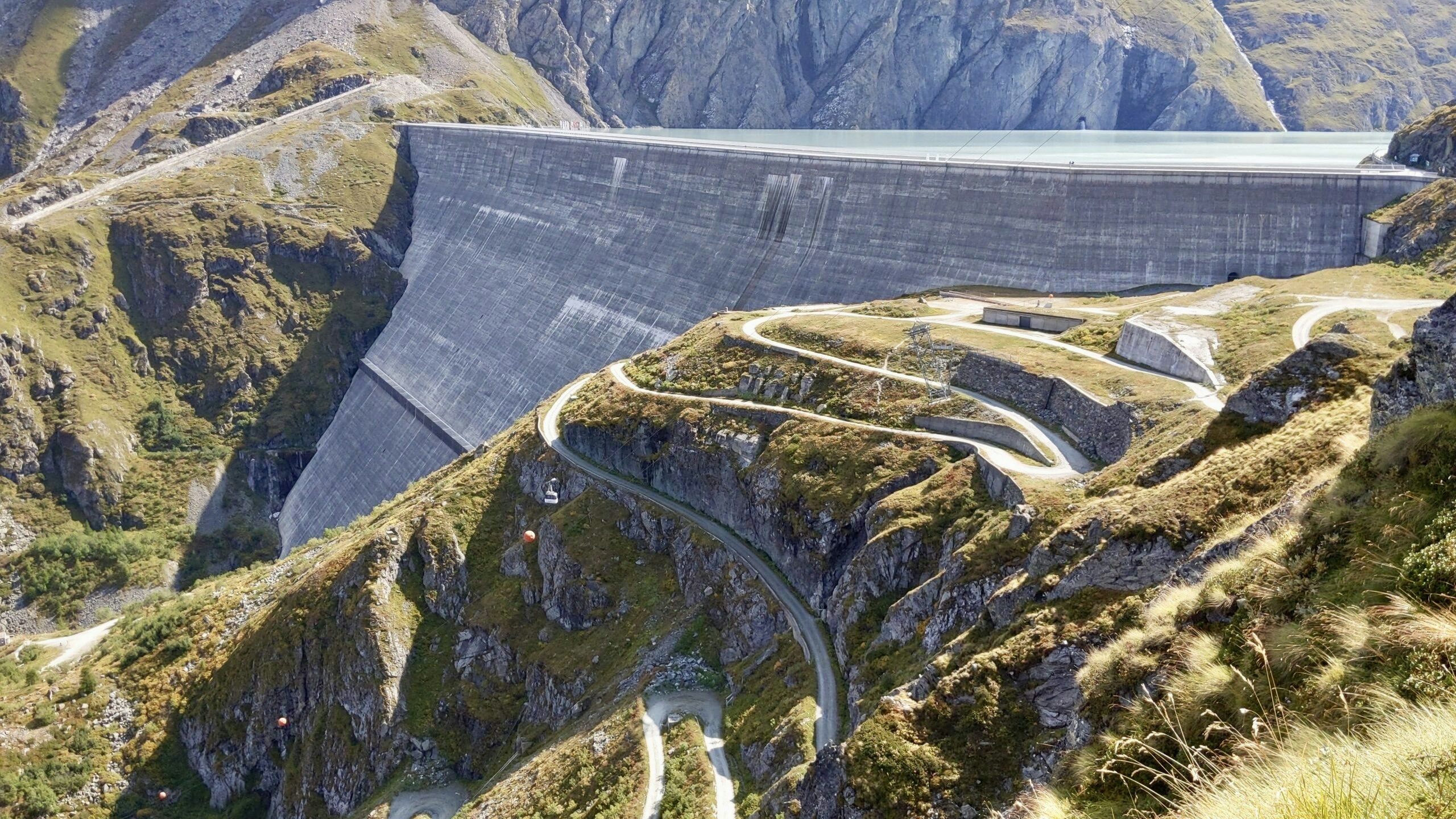
The path then continues towards the Lac des Dix and the Grande Dixence dam, a building of superlatives. It is the highest gravity dam in the world, the most massive in Europe, and it generates the electrical equivalent of two nuclear power stations!
The path passes close to the lake, then descends to the foot of the dam to complete the stage.

Already more than 200,000 users!
Uphill
857m
Highest point
2408m
Downhill
788m
Lowest point
2089m
Route type
One way
Download the map on your smartphone to save battery and rest assured to always keep access to the route, even without signal.
Includes IGN France and Swisstopo.
Parking at the start of the hike.
Possibility to take the train to Sion, and then the bus to Thyon.
I indicate whether dogs are allowed or prohibited on this trail
From June to September
0 ratings
Also enjoy:

Already more than 200,000 users!