Uphill
340m
Length
8km
Duration
3h
Elev gain
340m
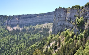
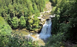
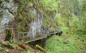
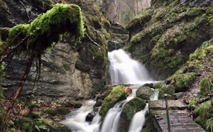
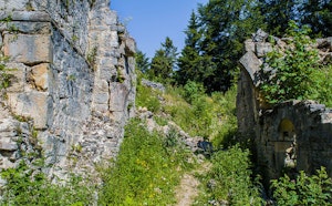
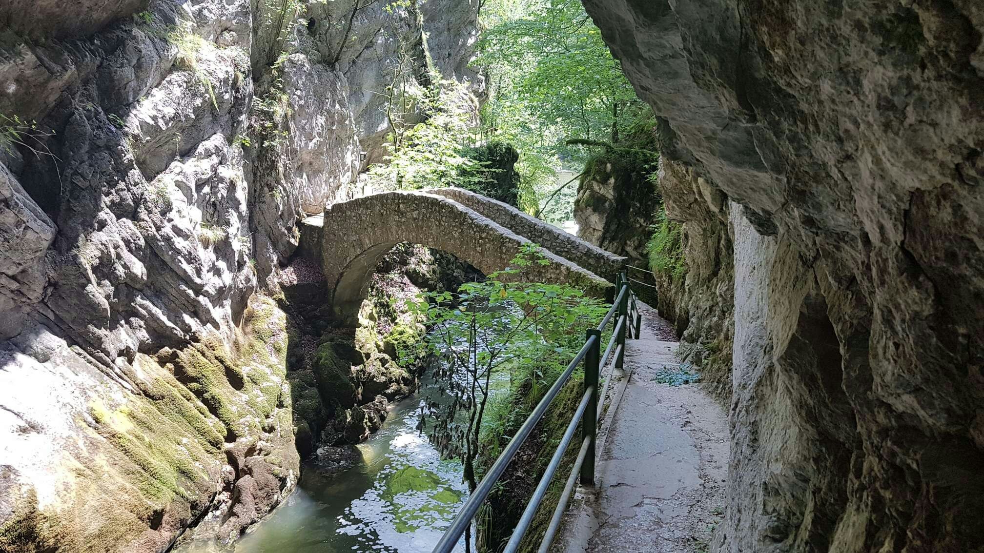
Here is a pretty walk that follows the course of the Areuse, sometimes calm, sometimes agitated. This round trip is punctuated by small stone bridges, each more pleasant to cross than the other.

Already more than 200,000 users!
Uphill
340m
Highest point
593m
Downhill
340m
Lowest point
480m
Route type
There and back
Download the map on your smartphone to save battery and rest assured to always keep access to the route, even without signal.
Includes IGN France and Swisstopo.
I indicate whether dogs are allowed or prohibited on this trail
All year
0 ratings
Also enjoy:

Already more than 200,000 users!