Uphill
391m
Length
5km
Duration
2h30min
Elev gain
391m
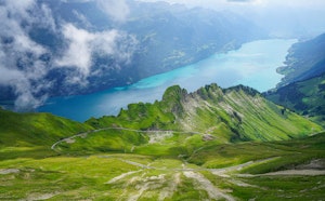
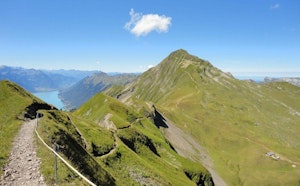
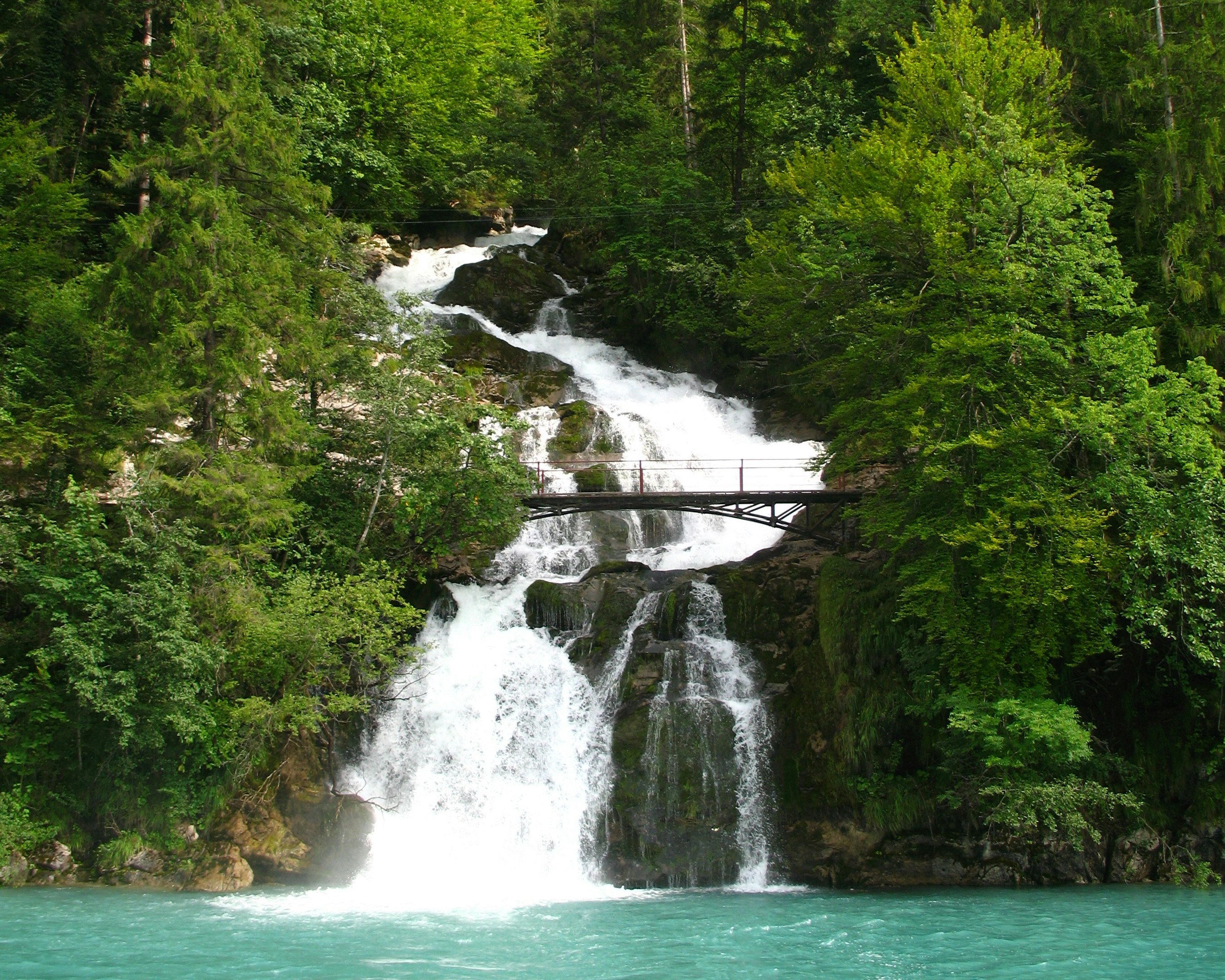
Nice walk around the famous Giessbach Falls. Taking its source in the high valleys and basins of the Faulhorn-Sägistal region, this mountain torrent feeds the falls and offers a magnificent spectacle.

Already more than 200,000 users!
Uphill
391m
Highest point
959m
Downhill
391m
Lowest point
580m
Route type
Loop
Download the map on your smartphone to save battery and rest assured to always keep access to the route, even without signal.
Includes IGN France and Swisstopo.
I indicate whether dogs are allowed or prohibited on this trail
Can be difficult in Winter
0 ratings
Also enjoy:

Already more than 200,000 users!