- Route
-
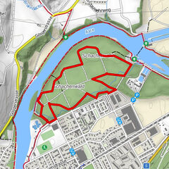
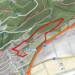
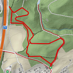
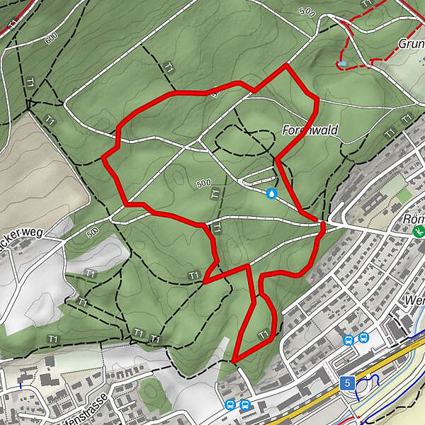
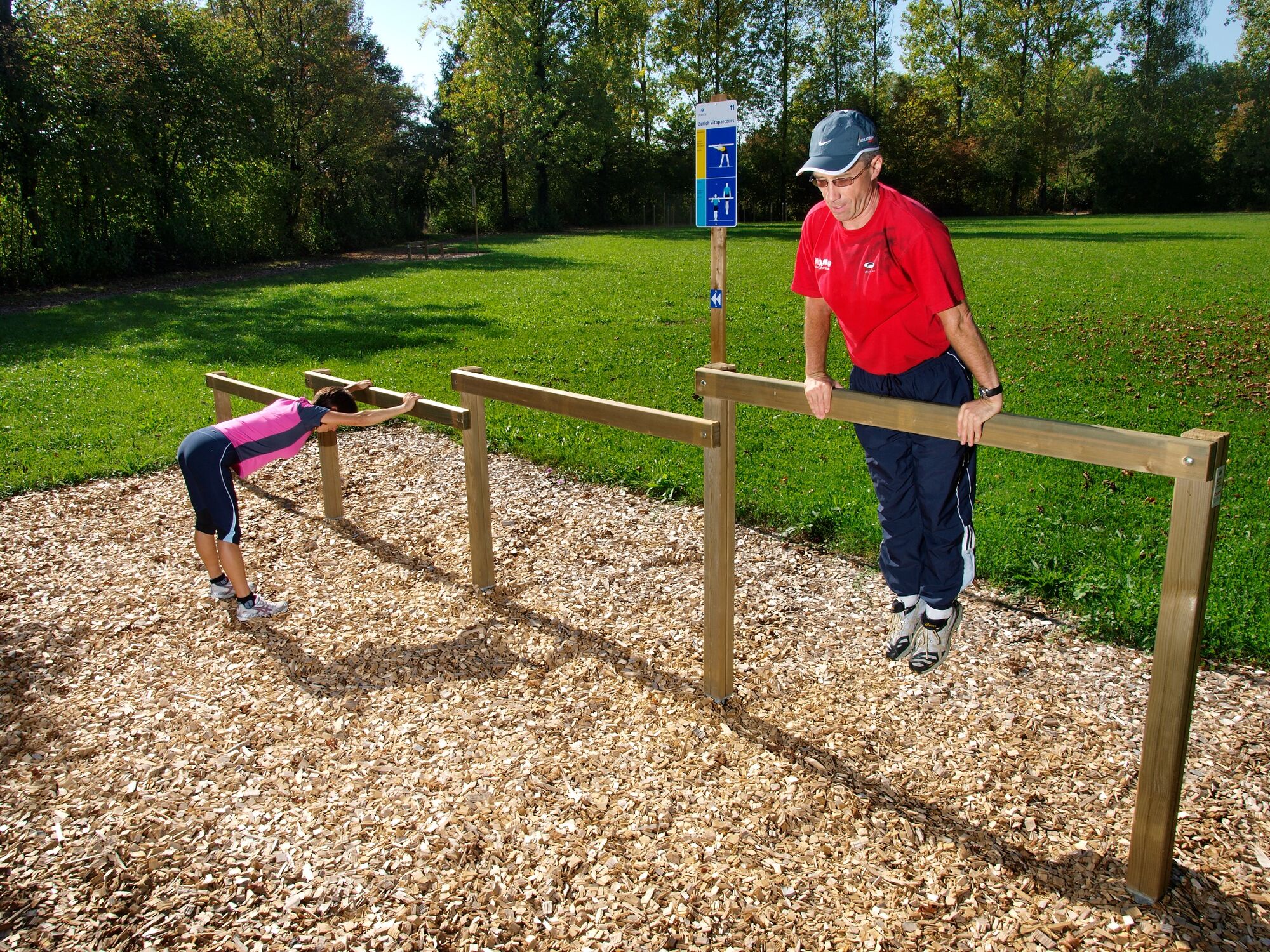
Olten (396 m)0.0 kmForenwald2.6 km
- Highest point
- 514 m
- Height profile
-
 © outdooractive.com
-

-
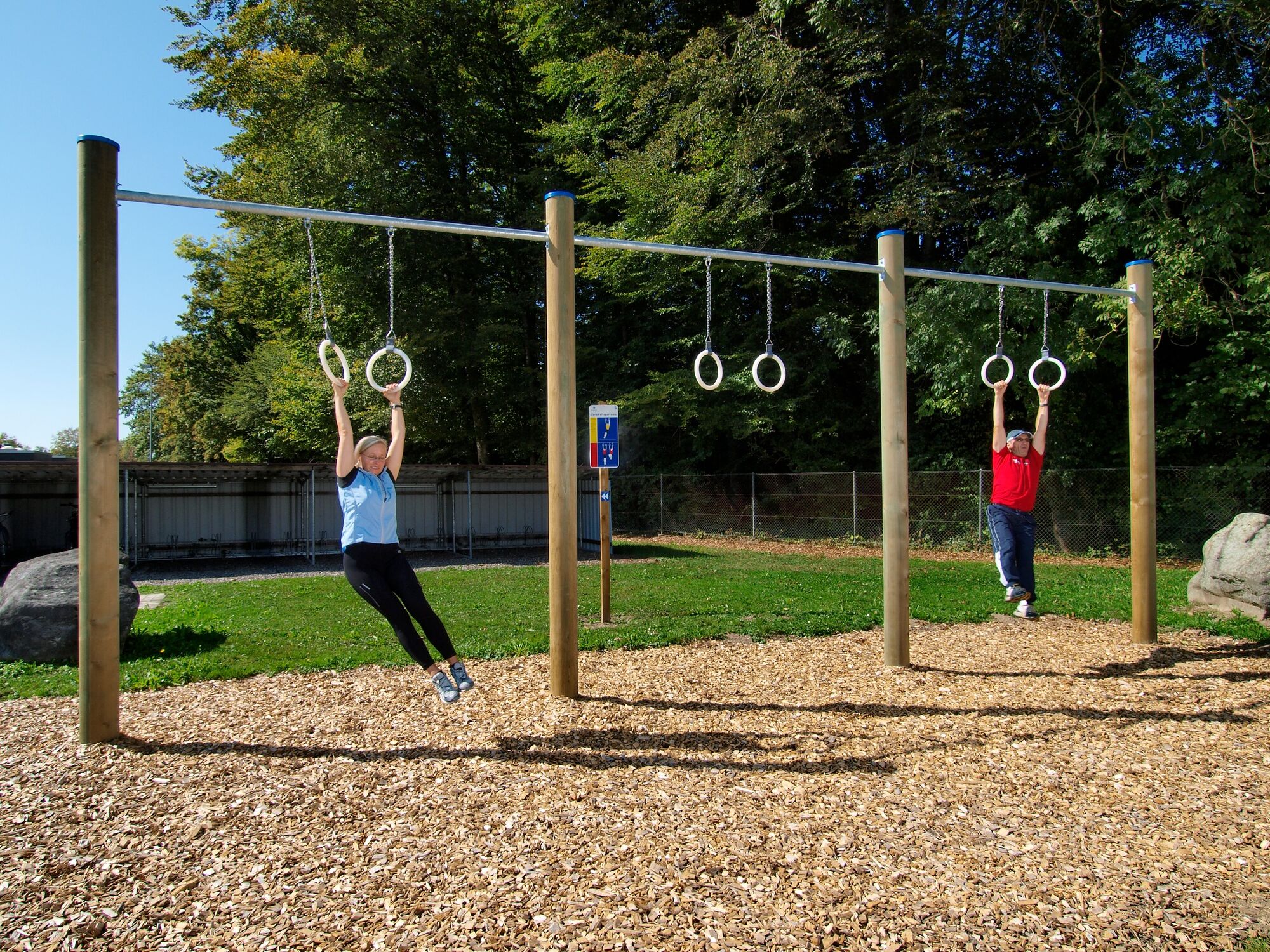
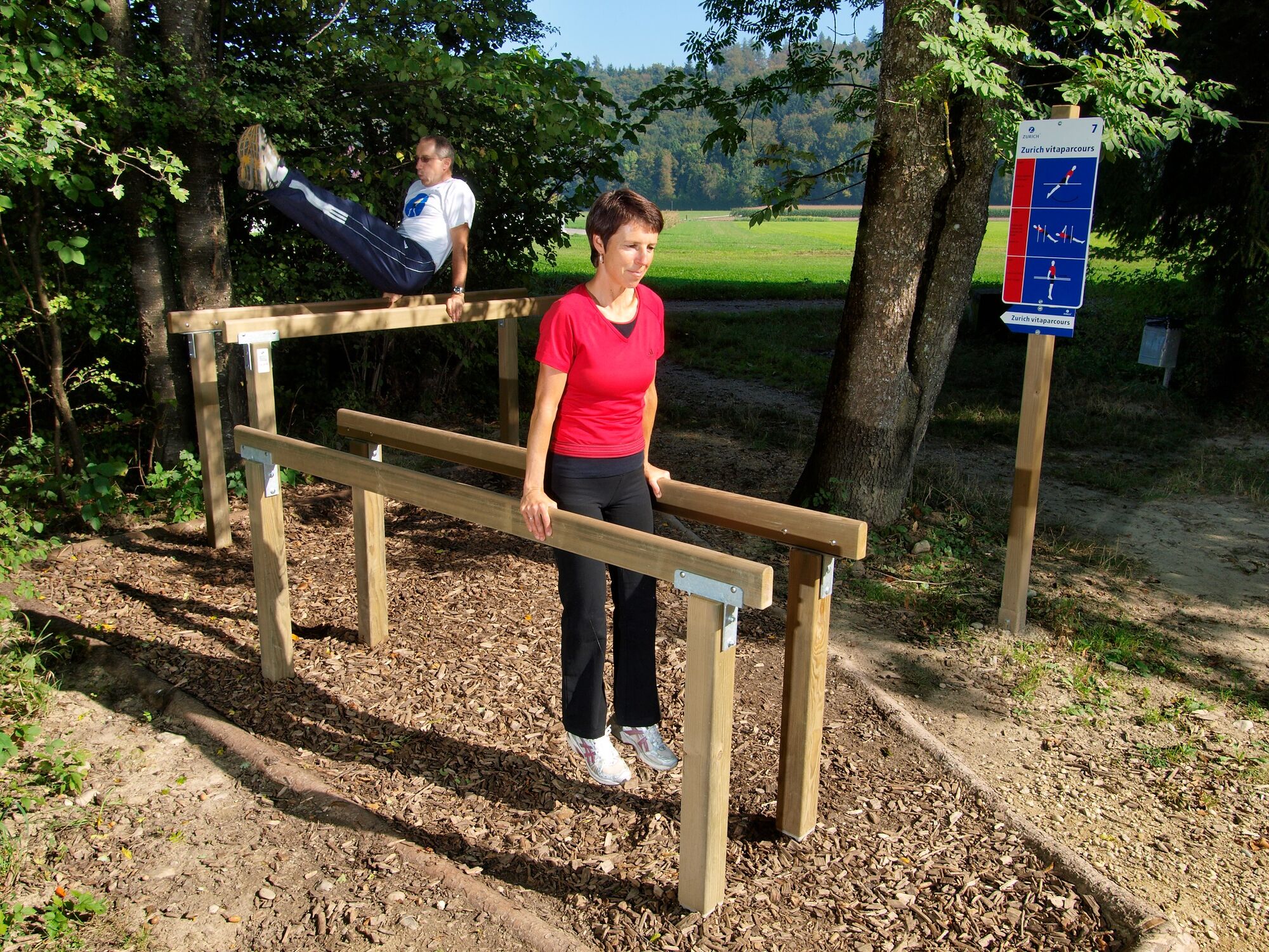
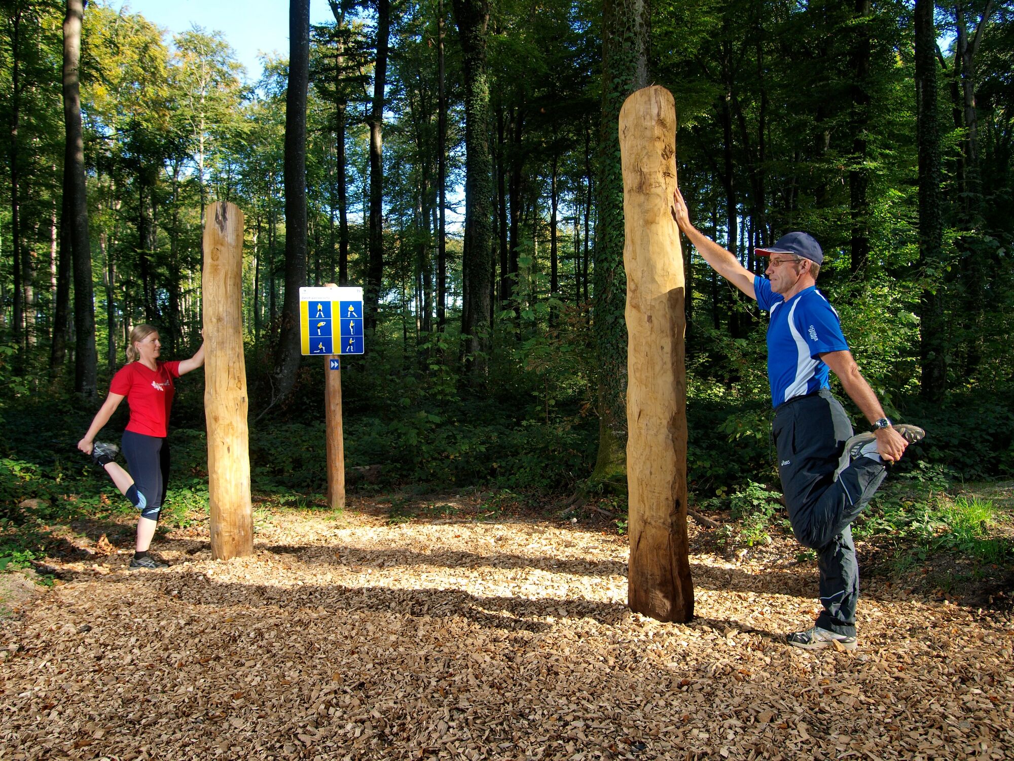
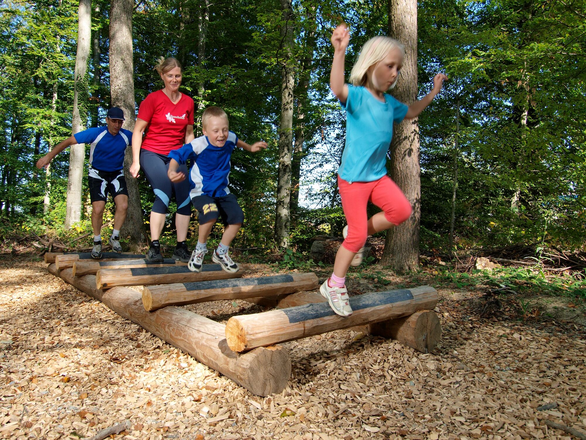
AuthorThe tour Vitaparcours "Olten" is used by outdooractive.com provided.
GPS Downloads


Other tours in the regions
-
Kanton Aargau
13
-
Olten und Region
11
-
Olten
7